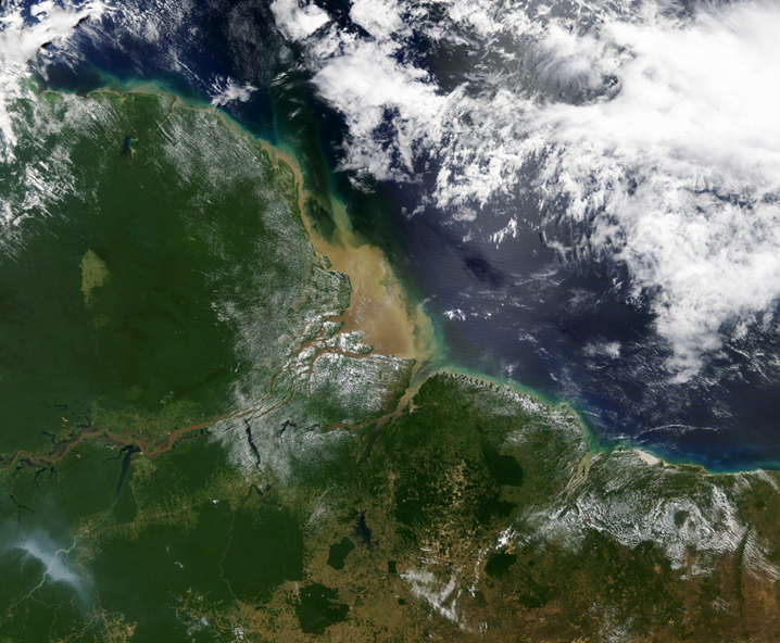
RSS-Hydro is active in this field and one of its key objectives is to provide scientific flood risk maps to users in order to assess prevention efforts.
Globally, flooding is one of the most common forms of natural disaster. RSS-Hydro is active in this field and one of its key objectives is to provide scientific flood risk maps to users in order to assess prevention efforts.
In other words, RSS-Hydro uses MeluXina for flood management via numerical models and remote sensing, i.e. the acquisition of remote information by satellites.With the help of the mega-computer, the company is able to optimise high-resolution simulations. Thanks to MeluXina, the speed and computational performance of its flood simulations has benefited from a tenfold increase, significantly improving the effectiveness and efficiency of its operations.
For its flood risk calculations, it uses traditional methods and advanced machine-learning models, combined with the latest technological innovations in computer modelling to simulate water-related hazards and their impact. Drones, satellites and, last but not least, MeluXina are part of working tools utilised by RSS-Hydro.


